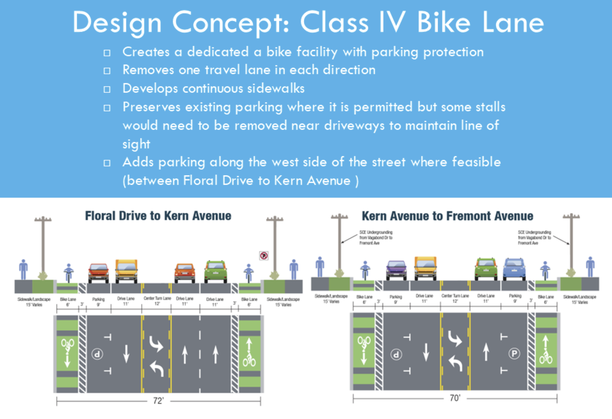
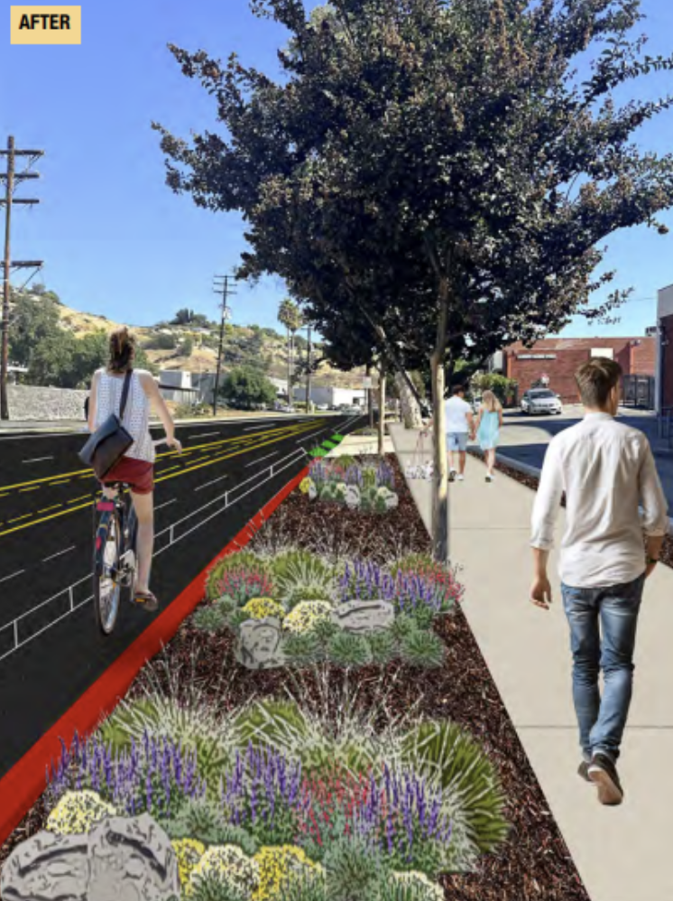
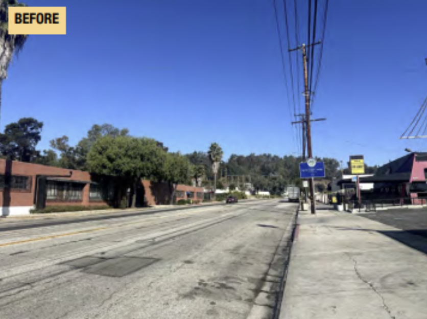
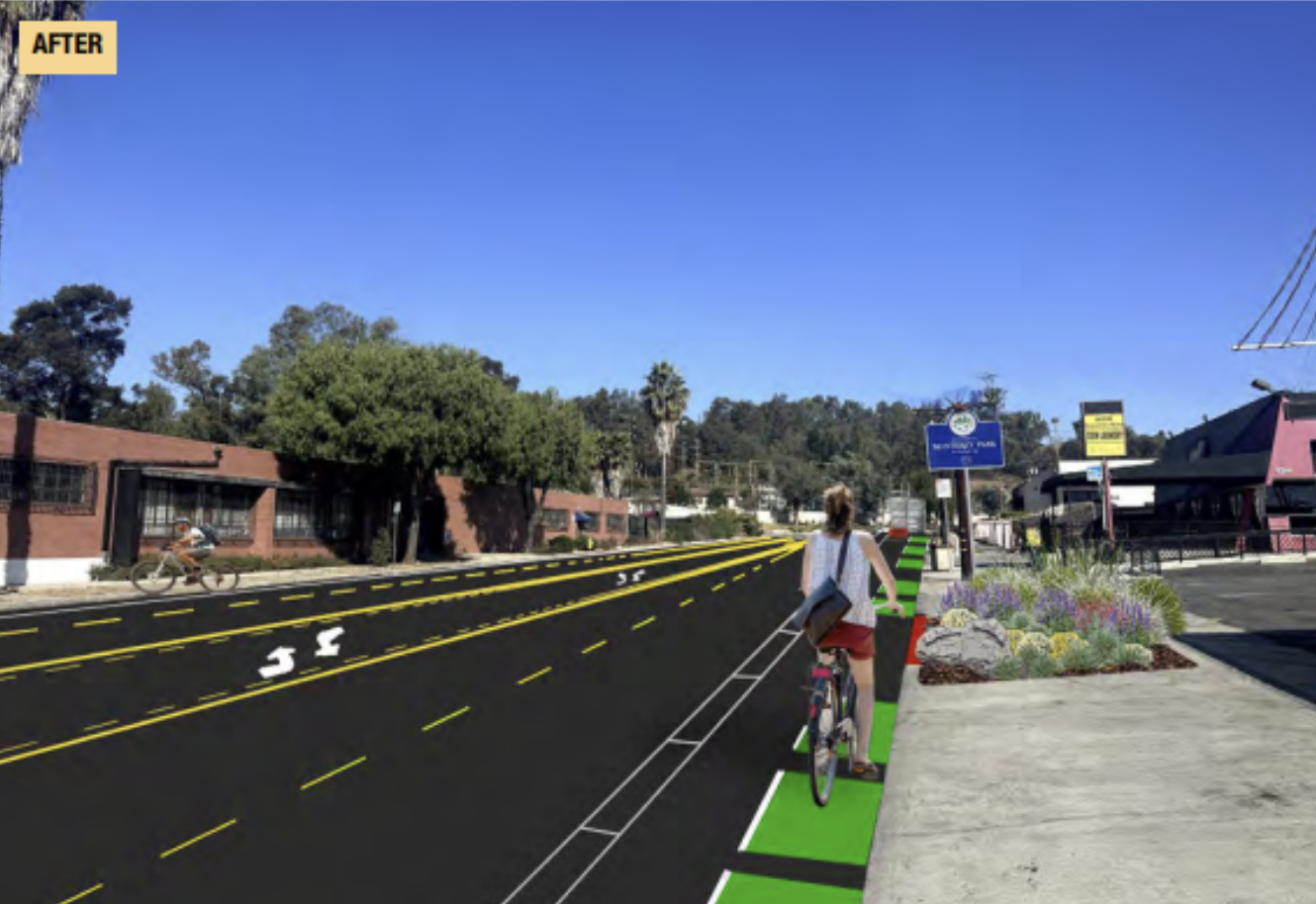
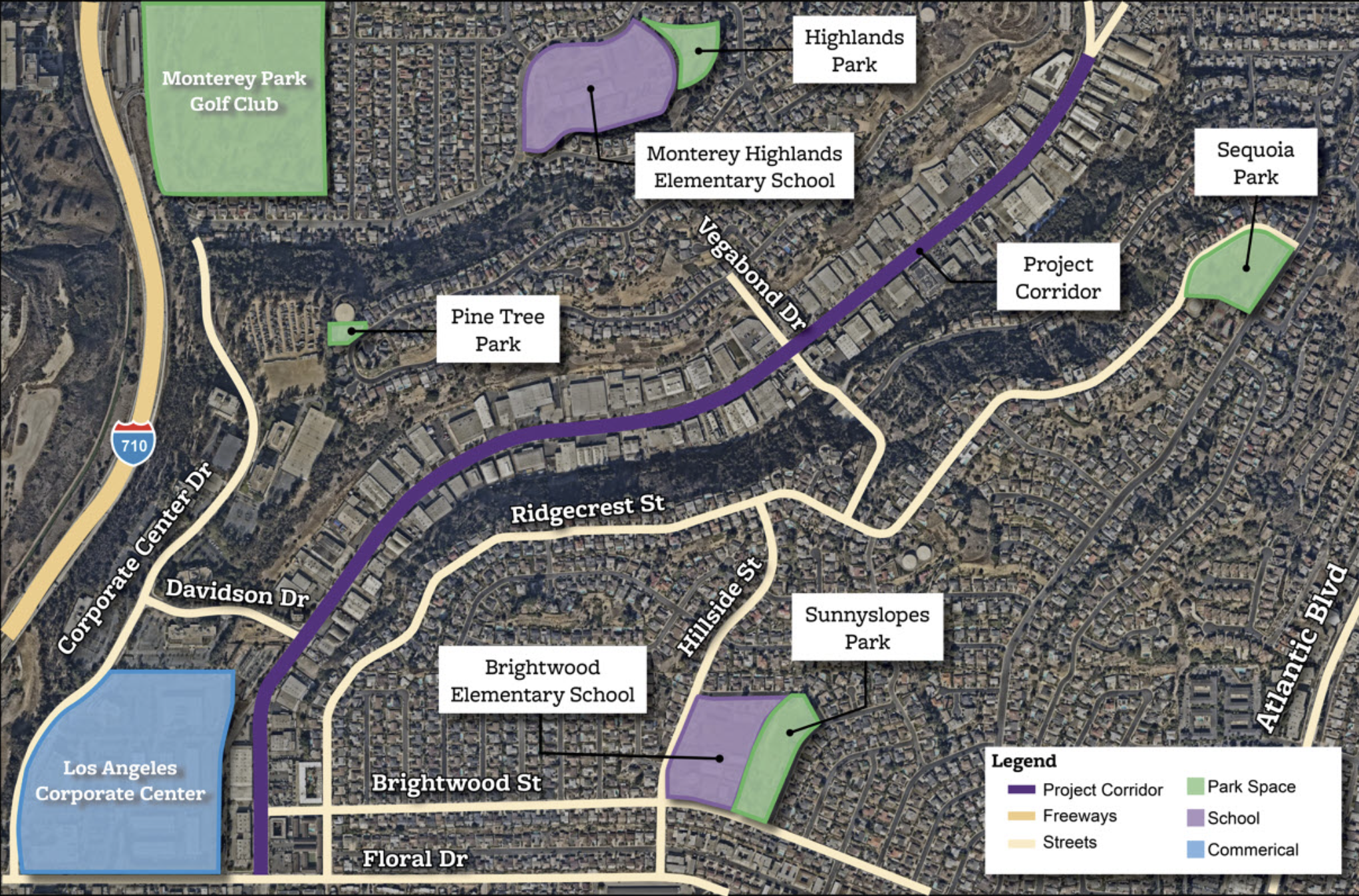
The Monterey Pass Road Project implemented a planned bike route and upgraded pedestrian facilities on a complicated corridor which included warehouse, industrial, and residential uses.
My role was to identify where the data supported each stakeholder group’s concerns and use that evidence to structure productive conversations. I prepared maps of missing sidewalks, truck parking behavior, collision hot spots, turning-movement volumes, and pedestrian desire lines. During community meetings, I listened to business owners describe conflicts with freight vehicles; residents highlighted unsafe crossings and visibility issues; school stakeholders emphasized ADA deficiencies and gaps in walk routes.
The biggest challenge was reconciling the need for protected bikeways and continuous sidewalks with the fact that many businesses depended on the curb for truck operations. Removing all curb access was infeasible, but doing nothing would leave significant safety issues unaddressed.
To navigate this, I worked with City staff to develop a set of “hybrid alternatives.” These solutions preserved loading on some blocks, shifted loading zones to side streets where possible, introduced sidewalk infill, and added protected bike facilities in segments where they were most feasible. The alternatives also included targeted intersection upgrades, high-visibility crosswalks, and speed-management measures, reflecting both community input and the safety data. I helped translate these tradeoffs into clear graphics and explanations so that stakeholders could see how their concerns were being balanced.